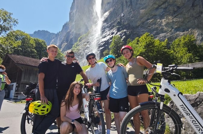
Lauterbrunnen and Trummelbach Waterfalls E-bike Tour Swiss Picnic
Six hours by e-bike for up to 12 from 16, with the waterfall entry and a mountain picnic in the fare.
From $319 per person
Check AvailabilityMost tours in the Jungfrau region meet within a short walk of each other in Interlaken. The mountains start a few kilometres south, where two valleys split. If you are planning a Swiss Alps guided tours, use this page to find your meeting point, then see where the day takes you.
Interlaken has two stations, West and Ost, joined by the Höheweg, the main street. Most tours meet on the Höheweg or outside Interlaken Ost. The OUTDOOR shop at number 95, the paragliding shop at 125 and the bike shop at 133 all sit along it. At the station, the rail days meet at the glass-cube info point, and the First hike outside the Coop Pronto.
| Where you meet | Which tours meet there |
|---|---|
| OUTDOOR Interlaken shop, Höheweg 95 | The Jungfraujoch days and the Grindelwald and Lauterbrunnen coach day |
| Paragliding Interlaken, Höheweg 125 | The tandem flight |
| Flying Wheels, Höheweg 133 | The e-bike day |
| Glass-cube info point, Interlaken Ost | The rail days and the Schilthorn afternoon |
| Coop Pronto, Interlaken Ost | The First and Bachalpsee hike |
| Interlaken Ost or Lauterbrunnen station | The valley hike and the valley walk |
| Schlossstrasse 4, or your hotel | The private driver-guide day |
The Höhematte, the big meadow beside the Höheweg, is where the tandem paragliders land. The tourist office is at Marktgasse 1. Allow ten minutes to find your spot, and be there before the stated time.
The tandem flight starts at the paragliding shop at Höheweg 125 and lands on the Höhematte, a few minutes' walk away.
South of Interlaken, the railway splits in two. One branch runs to Lauterbrunnen, 22 minutes by train, a flat valley floor under walls of rock and waterfalls. The other runs to Grindelwald, 36 minutes, at the foot of the Eiger.
Between the two valleys stands a ridge, and Kleine Scheidegg sits on its crest below the Eiger, the Mönch and the Jungfrau. Trains climb to it from both sides: from Lauterbrunnen via Wengen, and from Grindelwald. The rail days loop over it and come down the other side. Mürren sits on a shelf on the far side of the Lauterbrunnen valley.
The valley floor runs south from Lauterbrunnen village for several kilometres, and most of the valley days travel along it. Staubbach Falls pours off the cliff at the village itself. About 3 km further up the road, a bus stop marks the entrance to Trümmelbach Falls, the ten waterfalls inside the rock. At the head of the valley, Stechelberg has the cable car to Mürren and the Schilthorn.
You can reach Mürren from either end. From Lauterbrunnen, a cable car climbs to Grütschalp and a small train runs along the shelf to Mürren, 21 minutes in all. From Stechelberg, the steep new cable car goes straight up. The valley walk uses both: up from Stechelberg, and back down by Grütschalp, so you see the valley from above and below.
The Jungfraujoch sits on the ridge between the Mönch and the Jungfrau, and you reach it from Grindelwald Terminal. First is Grindelwald's own mountain, on the other side of the valley. The Schilthorn rises above Mürren, reached from Stechelberg at the head of the Lauterbrunnen valley. Titlis is far away from the others, above Engelberg in Central Switzerland.
| Summit | Valley it rises from | Lift from |
|---|---|---|
| Jungfraujoch, 3,454 m | Grindelwald | Grindelwald Terminal |
| Grindelwald First, 2,166 m | Grindelwald | Grindelwald village |
| Schilthorn, 2,970 m | Lauterbrunnen | Stechelberg |
| Titlis, 3,020 m station | Engelberg | Engelberg |
Some tours start in a city and drive you to the mountains. Zurich is about two hours from Interlaken by train, Lucerne a little less. The glass-roof bus picks up in Lausanne, although it is sold as an Interlaken tour. The Milan days go to a different part of the Alps entirely, the Engadin and the Bernina line.
| City | Where you meet | Where the day goes |
|---|---|---|
| Zurich | The operator's office, or your hotel | Jungfraujoch, Titlis, four countries |
| Lucerne | The operator's office | Grindelwald and Lauterbrunnen |
| Lausanne | Lausanne-Vennes metro station | Interlaken, Grindelwald, Lauterbrunnen |
| Milan | Porta Garibaldi station | St. Moritz and the Bernina line |
Interlaken Ost station
Where most Swiss Alps tours start, 3800
Interlaken
Nothing loads from Google until you press it.
Zoom in on the station to find the Höheweg, or zoom out to follow the valleys south to Lauterbrunnen and Grindelwald. For trains and times, see getting there.
Six hours by e-bike for up to 12 from 16, with the waterfall entry and a mountain picnic in the fare.
From $319 per person
Check Availability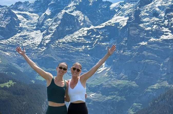
A six-hour hike for up to eight, Grütschalp to Mürren. The waterfall entry is in the fare; the lifts cost CHF 28 more.
From $271 per person
Check Availability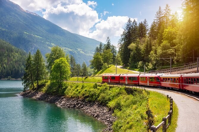
The Milan red train day on another booking site, for up to 60, with about 2 hours 20 minutes on the train.
From $91 per person
Check AvailabilityNext: pick a base on where to stay, see what is at the top on things to do, or compare every tour on Swiss Alps Tours.